It's the great New England surf paradox.
The air finally hits 85°. The water's finally warm enough to ditch the wetsuit.
You've got a free afternoon, the sun is out, and you pull up to the spot ready to score — and the Atlantic looks like someone ironed it out.
Every summer, we field some version of the same question at the shop: why is it so flat - is it always like this? It feels personal, but it isn't.
There's real ocean science behind Rhode Island's summer flat spells, and once you understand it, you'll not only stop taking it personally — you'll know exactly when the ocean is going to kick back into gear.
Where do waves actually come from?
First, a quick recap on what a wave even is.
Every wave you've ever ridden started as wind blowing across open water — usually hundreds, sometimes thousands of miles away.
Three ingredients determine how much wave energy gets made: how hard the wind blows, how long it blows, and how much open ocean it blows across (what forecasters call fetch).
Strong wind + long duration + big fetch = organized, long-period swell that travels efficiently across the ocean and unloads on the coast.
Rhode Island's coastline faces south and southeast, which means we depend almost entirely on storm energy generated out in the open Atlantic.
No storms, no wind. No wind, no waves. Waves are just stored wind energy — and in the summer, the Atlantic's wind factory basically checks out.
Meet the Bermuda High, summer's silent swell killer
Here's the main villain of the story.
Every summer, a massive dome of high pressure — the Bermuda High (or Azores High, depending on where it's parked) — sets up shop over the central Atlantic. High pressure means sinking, stable air. Sinking, stable air means light winds, sunny skies, and calm seas across enormous stretches of ocean.
That's great news for your beach day. Bad news for your shortboard.
The Bermuda High doesn't just calm the water beneath it — it acts like a bouncer, deflecting storm systems away from the swell-generating zones that feed our coast. The very weather pattern that gives Rhode Island its postcard-perfect summer days is the same one strangling the wave supply.
The flat spell and the beach weather aren't a coincidence. They're shaped by the same phenomenon.

The storm track packs up and moves to Canada.
The second culprit: the jet stream.
In fall and winter, the jet stream dips low across North America, steering a conveyor belt of low-pressure systems — including our beloved nor'easters — right through the western Atlantic. Those storms are Rhode Island's swell machine. They're why October through April, despite the 5mm wetsuits and ice cream headaches, delivers the best waves of the year.
During the summer, the jet stream retreats north toward Canada. The storm track goes with it. The lows that do form are weaker and tracking too far north to push meaningful energy toward our stretch of coast. The Atlantic doesn't stop making waves in summer — it just stops making them anywhere that can reach us.
Geography isn't doing us any favors
Even when a little summer wind swell does get generated, Rhode Island is a picky customer.
Our swell window is narrower than you'd think. Long Island sits off our southwest flank, shadowing a big slice of incoming energy from that (southwest) direction. Our south-facing beaches need swell arriving from a fairly specific corridor — roughly south to southeast — to line up properly.
Summer windswell tend to be weak and short-period, meaning the energy is disorganized and sits near the ocean surface. Not only that, but it's often southwest direction, which can't quite make it in.
Short-period swell also loses steam fast as it crosses the continental shelf, dragging across the bottom and bleeding energy before it ever reaches the rocks. Long-period groundswell from a distant storm punches through all of that.
The plot twist: Hurricane Season
Now comes the redemption arc. There is one swell source that thrives in summer heat: the tropics.
Starting in late July and peaking through August and September, hurricane season turns the Atlantic back on. Cape Verde storms spinning off Africa and tropical systems riding up the Eastern Seaboard can send mid to long-period, well-organized groundswell straight into our swell window — often for days at a time.
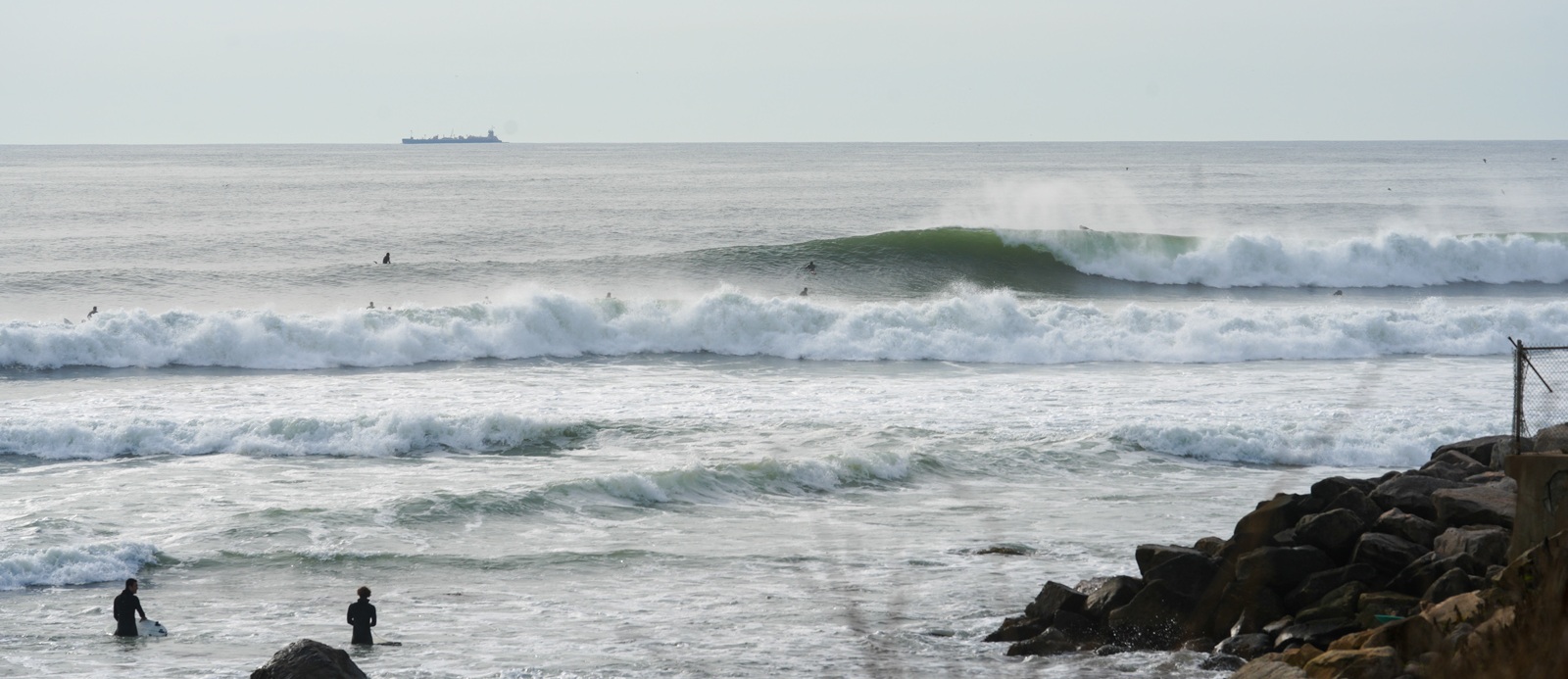
This is why some of the best sessions of the entire year happen in trunks and 68-degree water. A hurricane parked safely offshore is the perfect wave machine: solid fetch, screaming winds, and (ideally) no landfall.
What to actually do about it
Here's the reframe: the summer flat spell isn't wasted time. It's a setup for what’s to come.
Log it. Small, clean, waist-high peelers are exactly what longboards were built for. If you've been curious about single fins, easy glide, and walking the nose, this is the season. Come talk boards with us — we'll get you on the right log for summer time conditions.
Learn it. Mellow summer surf is hands-down the best classroom the ocean offers. It's why our surf lessons and surf camp run all summer long — small waves, warm water, and sandy-bottom safety are the ideal conditions to go from your first pop-up to catching waves on your own. Book a lesson or grab a camp spot before the sessions fill.
Prep for it. Fall swell is coming, and it doesn't care if you’re out of shape. The surfers who score in September and October are the ones who stayed busy in the water + sorted their quiver, wax, leashes, and wetsuits in July. Swing by the shop and get squared away now, so when the first Cape Verde swell shows up on the charts, all you have to do is paddle out.